

|
click map graphic to view larger version |
 |
Map Showing
the Route and Connections of the Mississippi Valley Railroad of Louisana
G.W. & C.B. Colton & Co. New York: 1882 Library of Congress Geography and Map Division G3936.P3 1882 .G17 RR 469 |
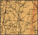 |
Northern Mississippi
and Alabama Drawn by A.Lindenkohl, H. Lindenkohl and Chas. G. Krebs, Lith.
U.S. Coast Survey, A. D. Bache, Supdt. 1865 Library of Congress Geography and Map Division G3980 1865 .L5 CW 259.5 |
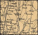 |
Military map showing
the marches of the United States forces under command of Maj. Genl. W.
T. Sherman, during the years 1863, 1864, 1865...
Printed by Joseph F. Gedney St. Louis, Missouri: 1865 Library of Congress Geography and Map Division G3861.S5 1865 .K6 CW 75 |
 |
Map showing the route
of the Mobile & North Western Railroad, and its connections by land
and sea; Henry Van Vleck chief engineer
G.W. & C.B. Colton & Co. New York: 1871 Library of Congress Geography and Map Division G3936.P3 1871 .G15 RR 470 |
 |
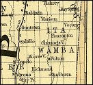
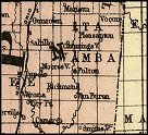
Railroad Commissioner's
Map of Mississippi
Rand McNally and Company Chicago: 1888 Library of Congress Geography and Map Division G3981.P3 1888 .R3 RR 243 |
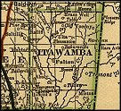
The Itawamba Historical Society, Post Office Box 7, Mantachie, MS 38855
|